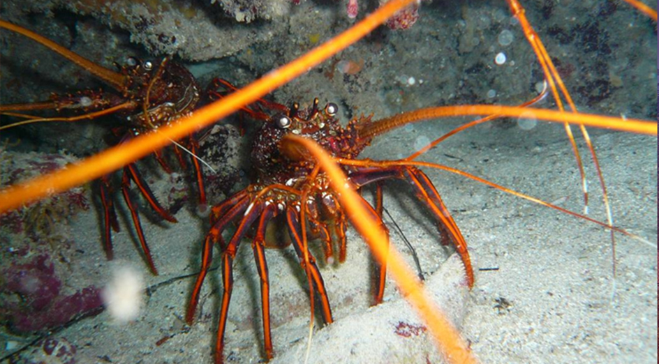
Western Australian scientists have developed a new method to monitor and predict Western Australia’s rock lobster populations using satellite technology, in a study that could transform fisheries management worldwide.
Published in Science of the Total Environment, the research demonstrated how tracking changes in seagrass and macroalgae habitats can help predict future lobster populations.
The study is part of the Integrated Coastal Analyses and Sensing Technology (ICoAST) project funded by the Indian Ocean Marine Research Centre’s partners — The University of Western Australia, CSIRO, Australian Institute of Marine Science and the Department of Primary Industries and Regional Development — and the Western Rock Lobster Industry’s Partnership Agreement with the Fisheries Research and Development Corporation and WA Department of Jobs, Tourism, Science and Innovation.
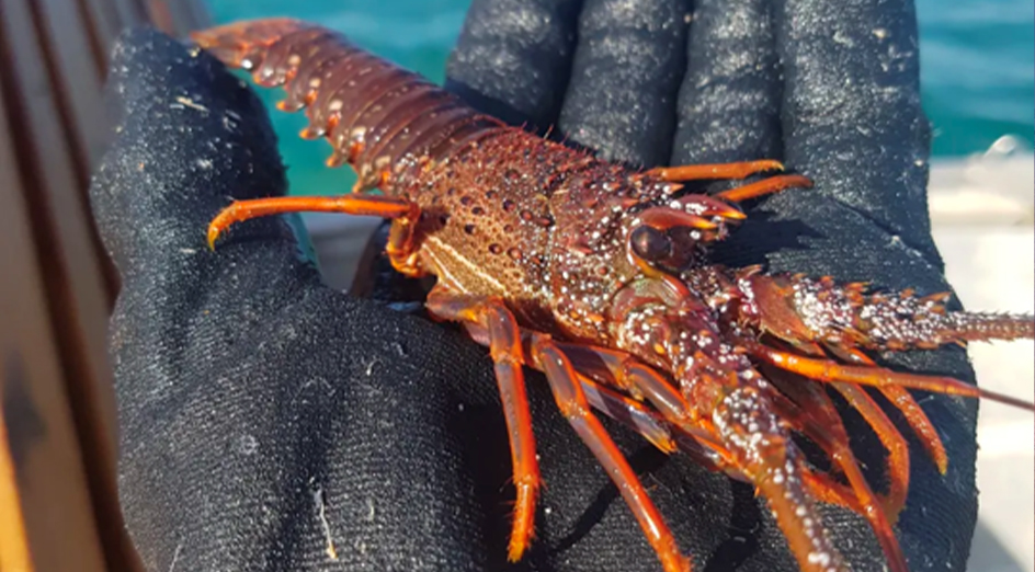
Lead author Dr Stanley Mastrantonis, from UWA’s School of Agriculture and Environment, said the Western Rock Lobster fishery, valued at hundreds of millions of dollars annually, had historically relied on monitoring newly settled juvenile lobsters at artificial seagrass stations to predict future populations and set fishing quotas.
“This predictive model became more uncertain after the 2010-2011 marine heatwave, which significantly impacted natural seagrass habitats at some sites along the WA coast,” Dr Mastrantonis said.
“While water temperature and environmental conditions are important for lobster growth, their nursery habitat of seagrasses is also critical.
“With climate change increasing the likelihood of extreme weather events, understanding these habitat changes had become crucial for the industry’s future.”
The study analysed satellite images spanning 600km of coastline from Port Gregory to Mandurah over 35 years, focusing on underwater vegetation crucial for lobster locations, and found satellite data could effectively track vegetation extent, which correlated strongly with lobster gathering in certain regions.
“For locations with high seagrass composition, we discovered that vegetation extent over the previous two years significantly explained variations in juvenile lobster numbers,” Dr Mastrantonis said.
The study marks the first time long-term satellite monitoring has been used to complement fisheries data collection at this scale, offering a new tool for similar fisheries worldwide to improve their predictive capabilities and sustainability practices.
“Our research provided evidence that tracking habitat is important for fishery assessment models and our hope is that fisheries managers will consider implementing satellite monitoring strategies into their programs as a result,” Dr Mastrantonis said.
“As satellite technology improves the ability to monitor coastal habitats will become even more precise, offering better spatio-temporal monitoring capabilities for fisheries managers globally.”
The study was co-led by UWA researchers Dr Sharyn Hickey, Dr Ben Radford, Dr Tim Langlois and Dr Simon de Lestang.
Media references
Liz McGrath, UWA Media Advisor, 08 6488 7975